
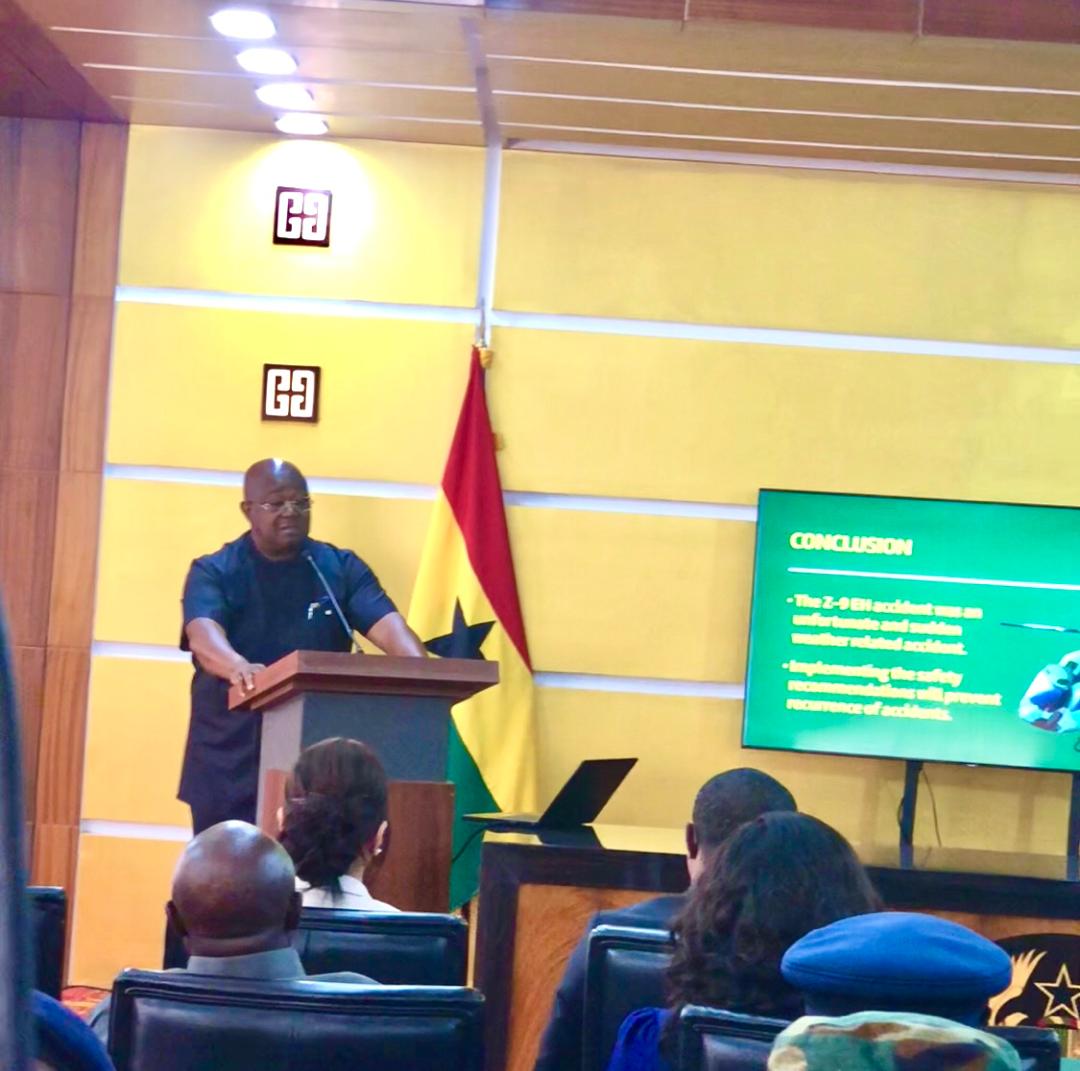
Poor weather conditions and limited visibility were major contributing factors to the August 6, 2025, helicopter crash that claimed eight lives, an official investigation has revealed.
Captain Paul Forjoe, presenting the findings at the Jubilee House on Tuesday, disclosed that visibility dropped to as low as 200 meters near the crash site, with no navigational aids or weather services available along the flight route.
The Z-9EH helicopter (tail number GHF-631) was operating a scheduled flight from Accra to Obuasi when it crashed in the Dampia Forest Reserve of Anokyekrom Brofoyedru in the Adansi Akrofuom District, Ashanti Region. All three crew members and five passengers aboard the aircraft died.
Captain Forjoe explained that weather in southern Ghana was poor on the day, which delayed departure for about an hour.
“In Accra, conditions were misty, with visibility of about five to seven kilometers, very low clouds, starting at only 700 to 1100 feet above the ground,” he stated.
He noted that Kumasi’s weather was worse, with drizzle reducing visibility to around four kilometers, and heavy, low clouds sitting just 600 to 900 feet above the ground.
“Only Accra and Kumasi Aerodrome weather were available. There was no formal information on the weather available to the pilots along the flight route,” Captain Forjoe said.
Witnesses reported poor visibility due to fog and rain at Brofoyedru and its environs, where the crash occurred.
The investigation revealed that the flight departed Accra at 9:14 a.m. under Visual Flight Rules after being delayed by adverse weather. As the aircraft approached Obuasi, visibility deteriorated rapidly due to fog and low clouds.
At 9:56 a.m., the crew entered Instrument Meteorological Conditions and transitioned to Instrument Flight Rules, meaning they could no longer navigate using visual cues and had to rely solely on the aircraft’s instruments.
The crew initiated a climb to cross terrain they were aware of. Seconds before impact, they stated they could see the high ground below. Suddenly, the helicopter lost altitude and impacted a ridgeline at about 1,370 feet above sea level, approximately 6.5 miles from the destination at 9:58 a.m.
Captain Forjoe explained that the environmental conditions in the Dampia Forest Reserve, along with its rugged terrain, created turbulence, downdrafts, and other phenomena.
“Turbulent wind currents occur, usually around ridgelines, mountains, and hills, and can generate sink rates in excess of 1,000 feet a minute in moderate wind conditions,” he said.
The investigation determined that the accident was caused by sudden loss of altitude and lift due to downdraft, consistent with changing environmental conditions over high terrain.
Among the findings, the investigation noted limited national navigational capacity for en-route and remote area weather services, lack of ground-based navigational aids along the route, and absence of real-time aircraft tracking systems.
The board has recommended that the Ghana Air Force improve weather forecasting and data services for remote areas and implement flight data monitoring and tracking systems for all military aircraft.
President John Dramani Mahama had directed the Acting Minister of Defence to establish an Accident Investigation Board following the crash. The Ministry announced the board’s formation on August 25, 2025.
The investigation was conducted under Ghana Air Force regulations and in accordance with Annex 13 of the International Civil Aviation Organization Convention.
Richard Aniagyei, ISD